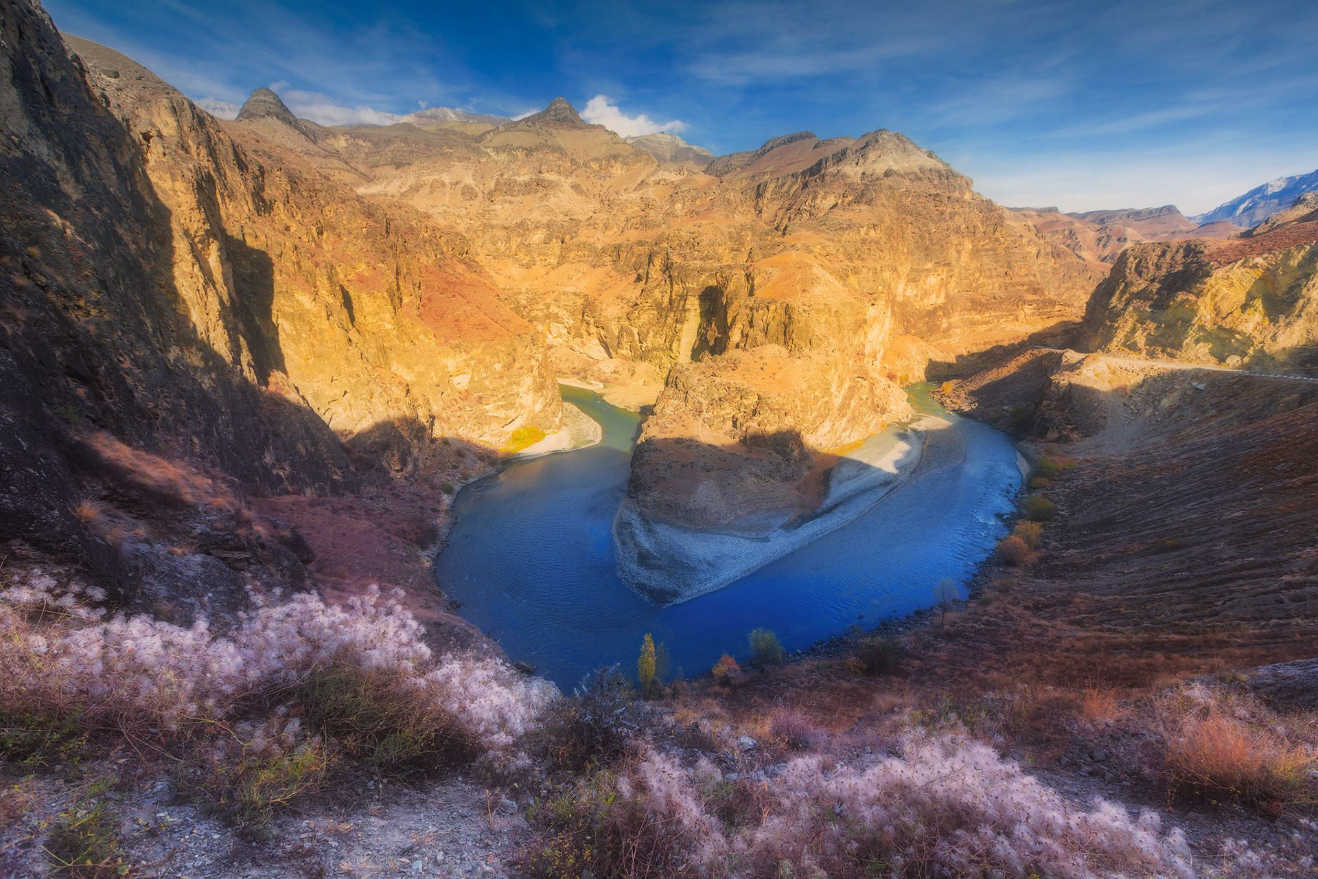
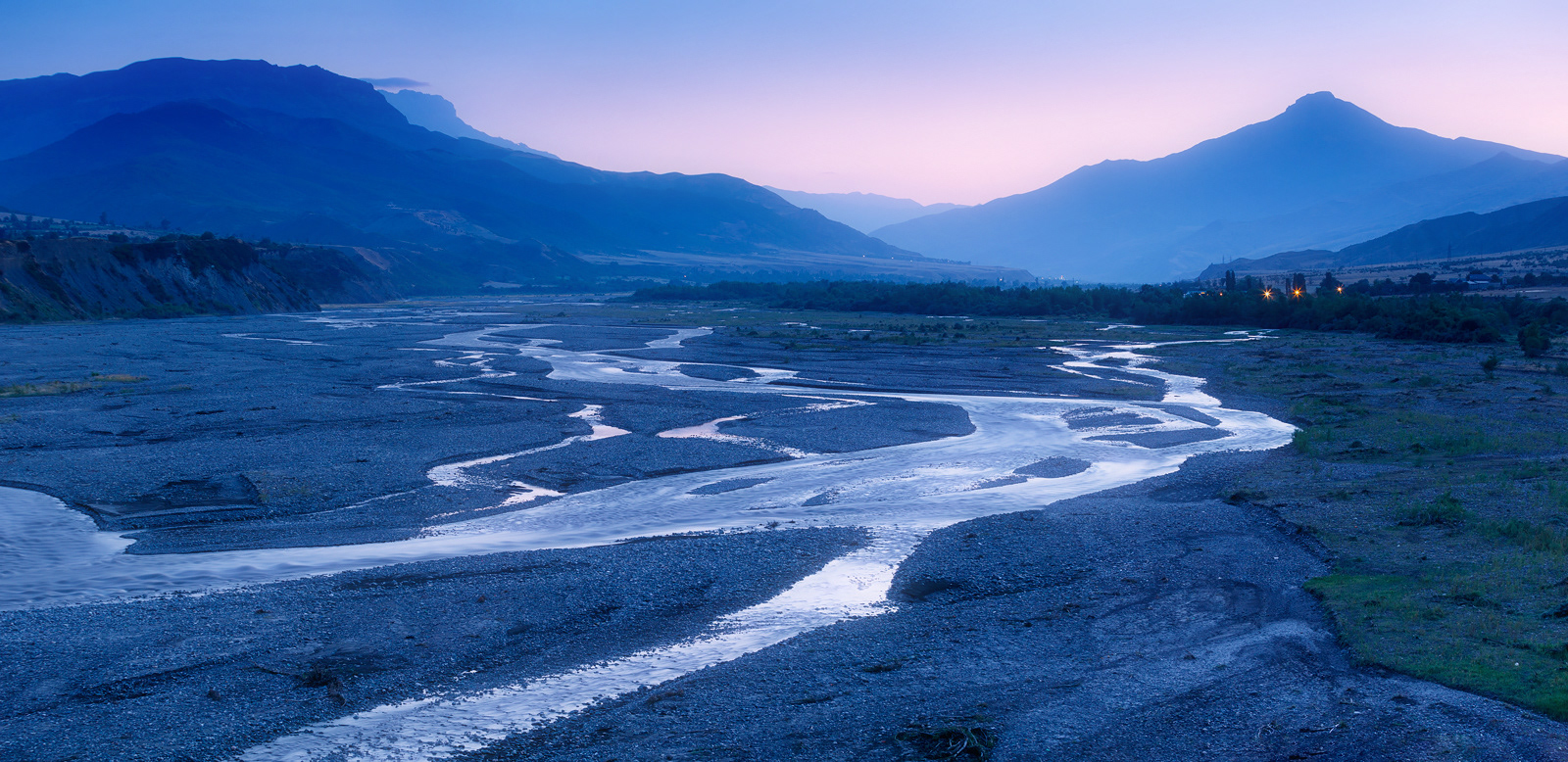
Twilight in valley of river Samur, Southern Dagestan. The Samur river originates in glaciers and mountain springs of the Greater Caucasus mountains. It rises in the northeastern part of Guton Mount at an elevation of 3,648 m (11,969 ft)
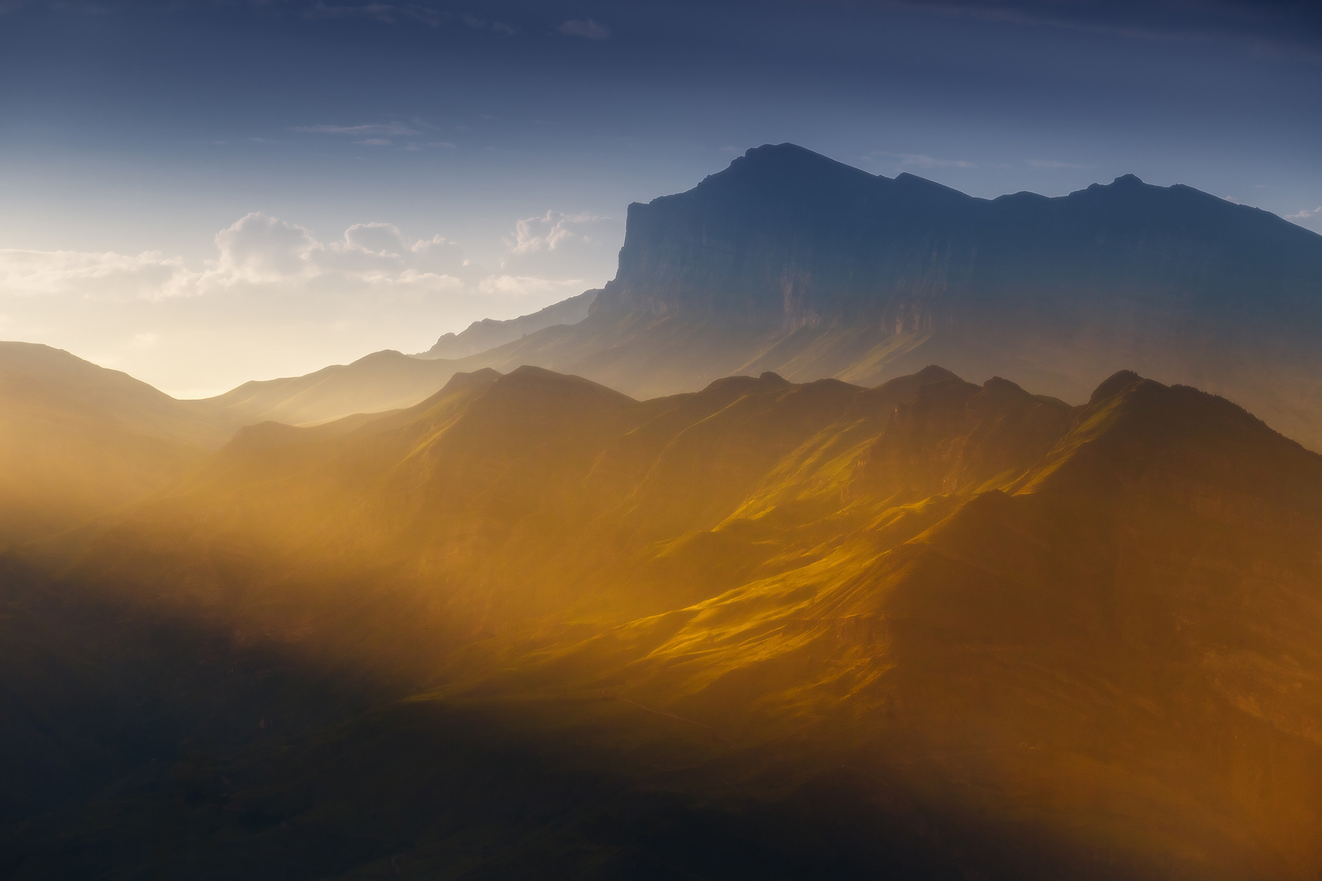
The mountains of the great Caucasus range in the low rays of the setting sun
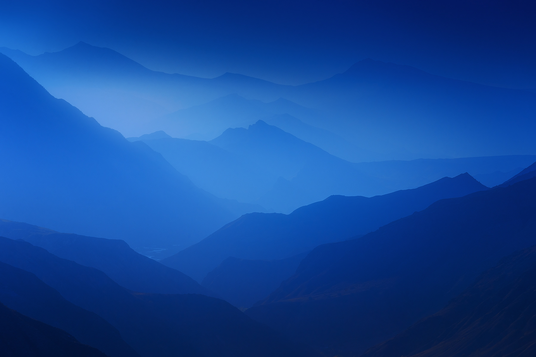
The amazing layers of mountains, as if stretching to infinity appear before the eyes of everyone who rises to the top of the Khunzakh plateau in Dagestan
Summer on Gunib plateau, Central Dagestan
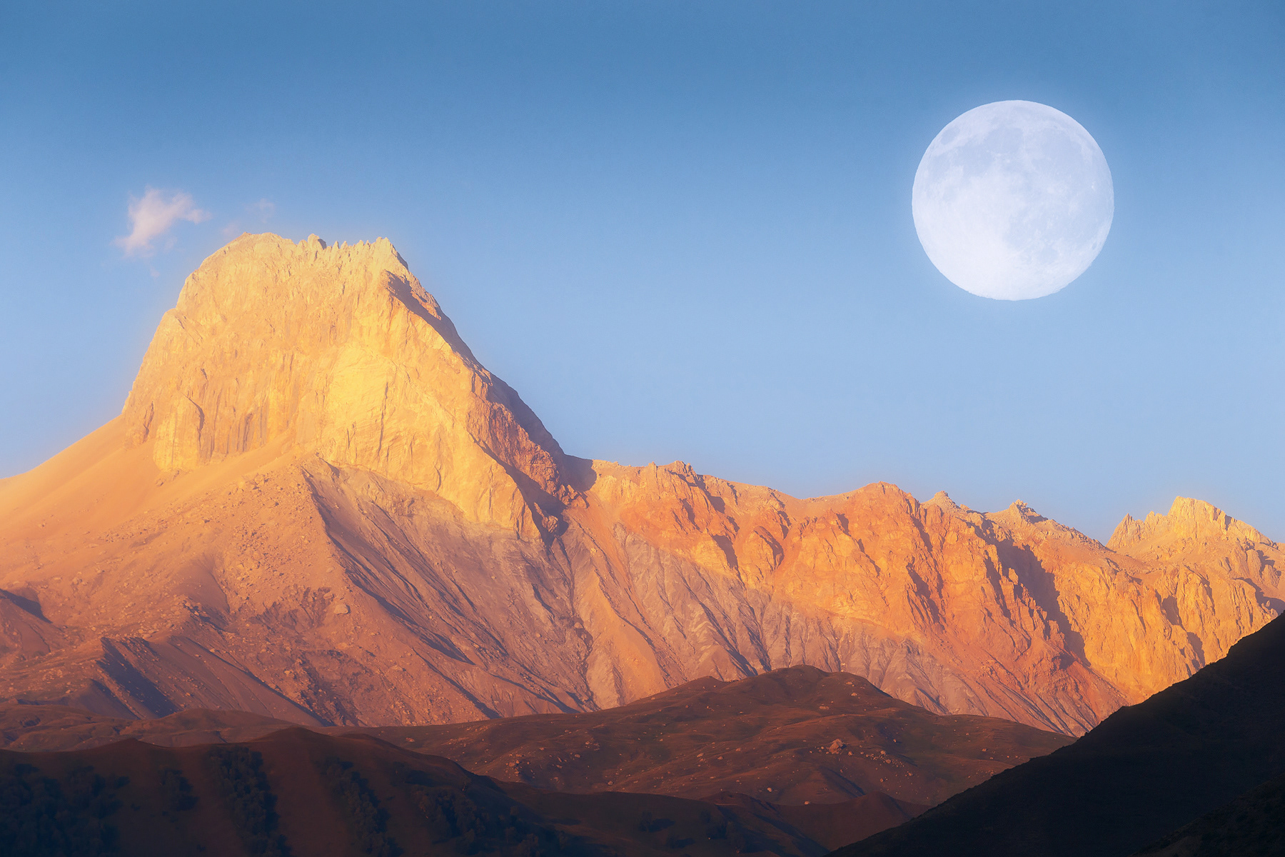
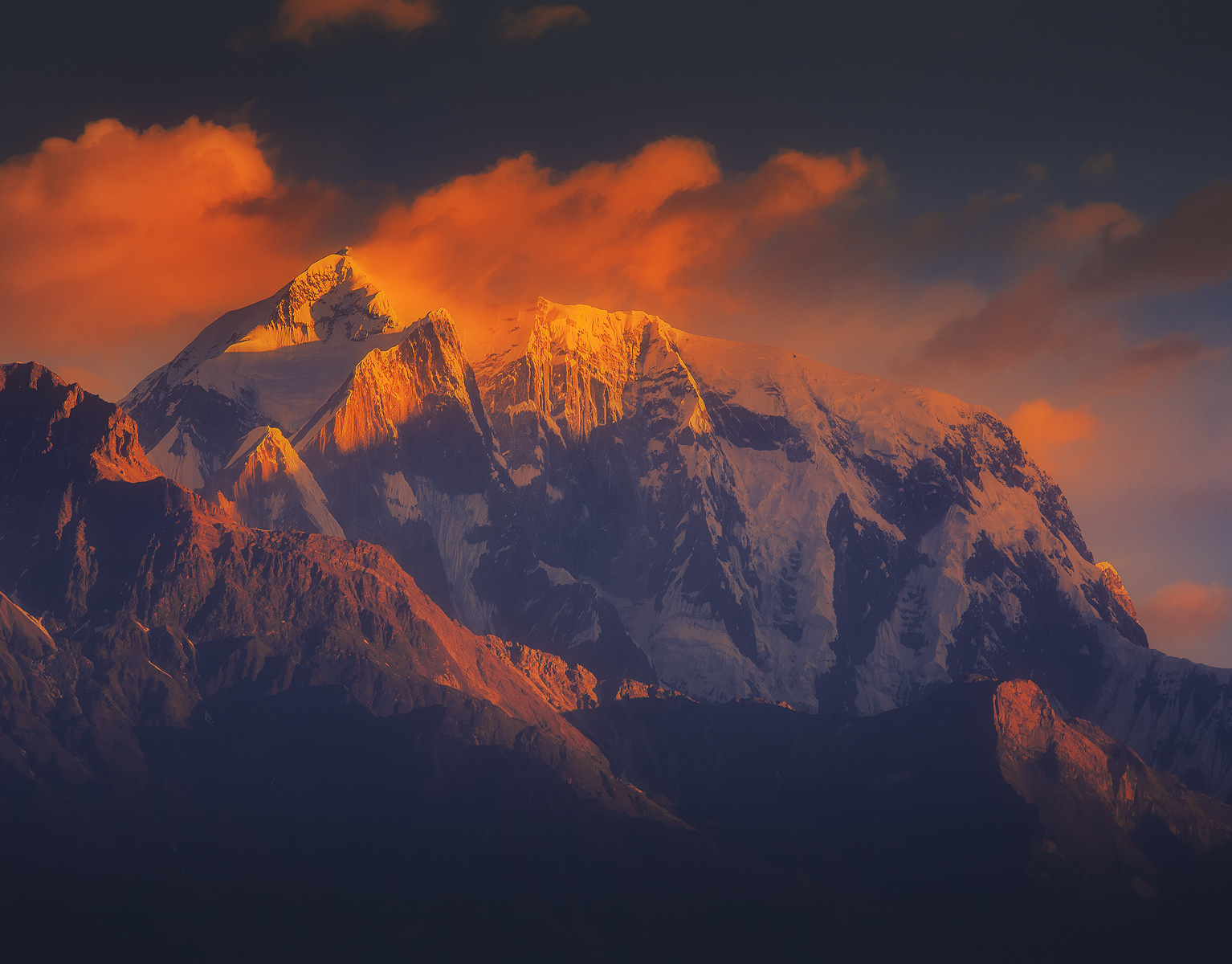
Sacred mountain Shalbuzdag (4142 m) at the sunset, Southern Dagestan
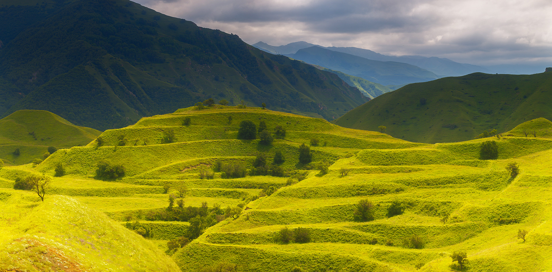
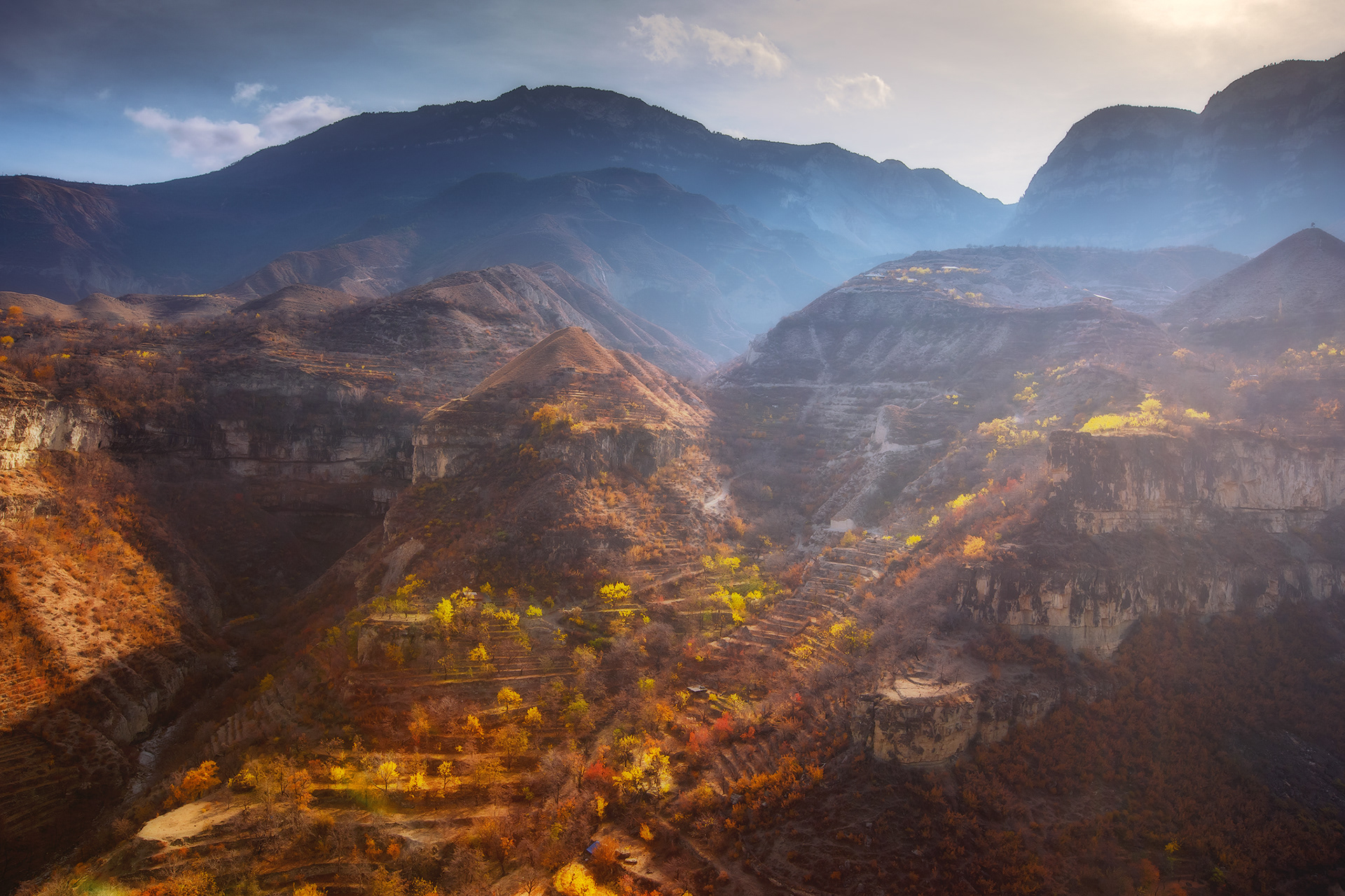
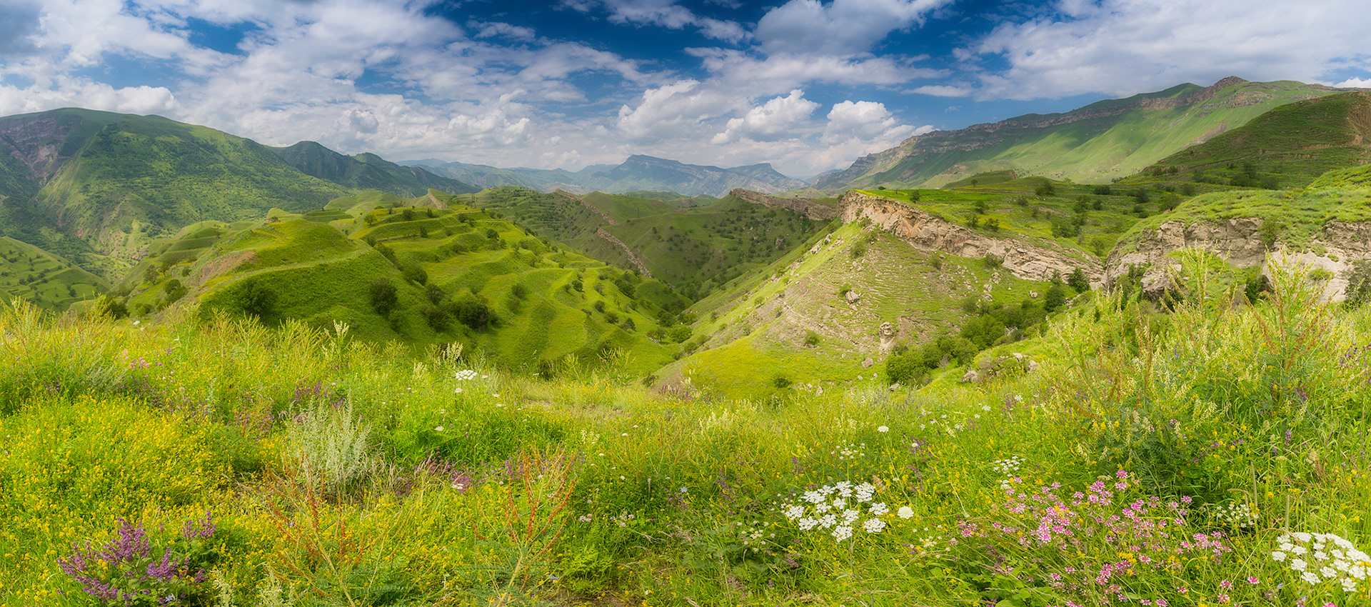
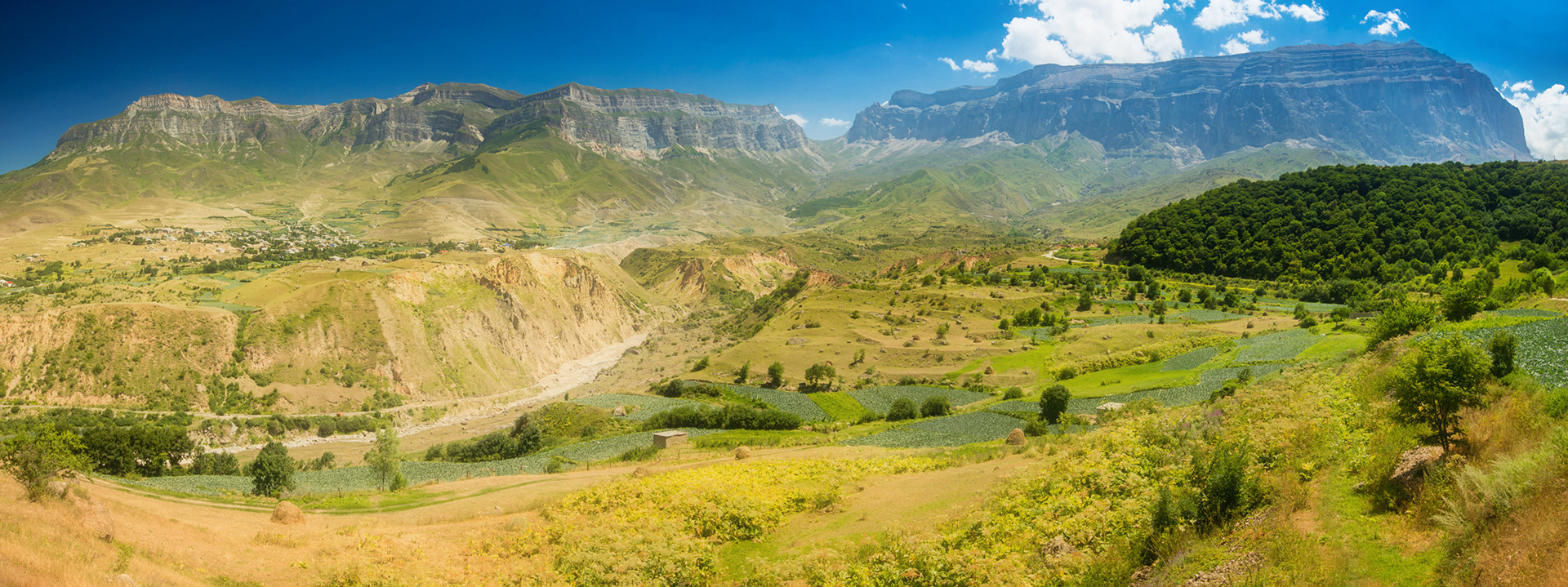
Terraces of Central Dagestan
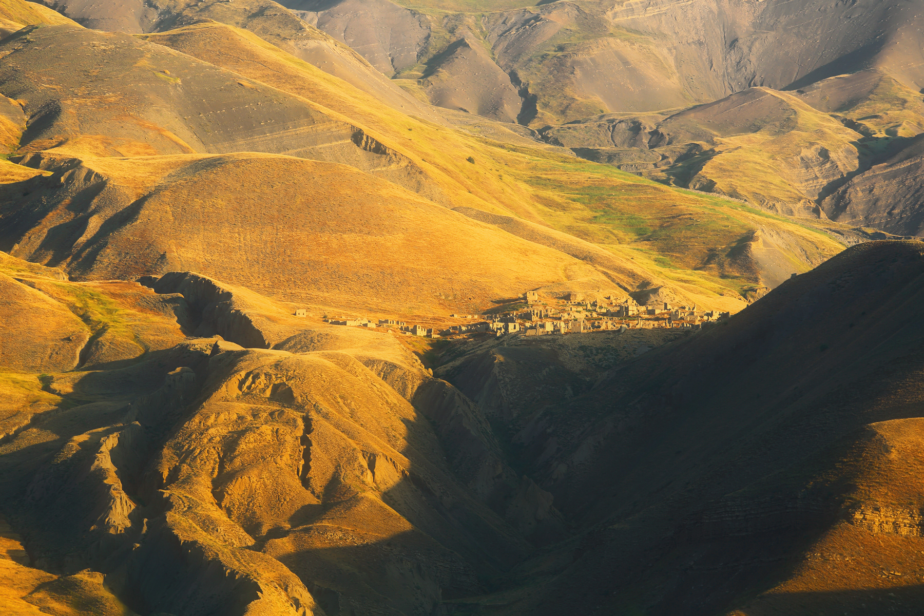
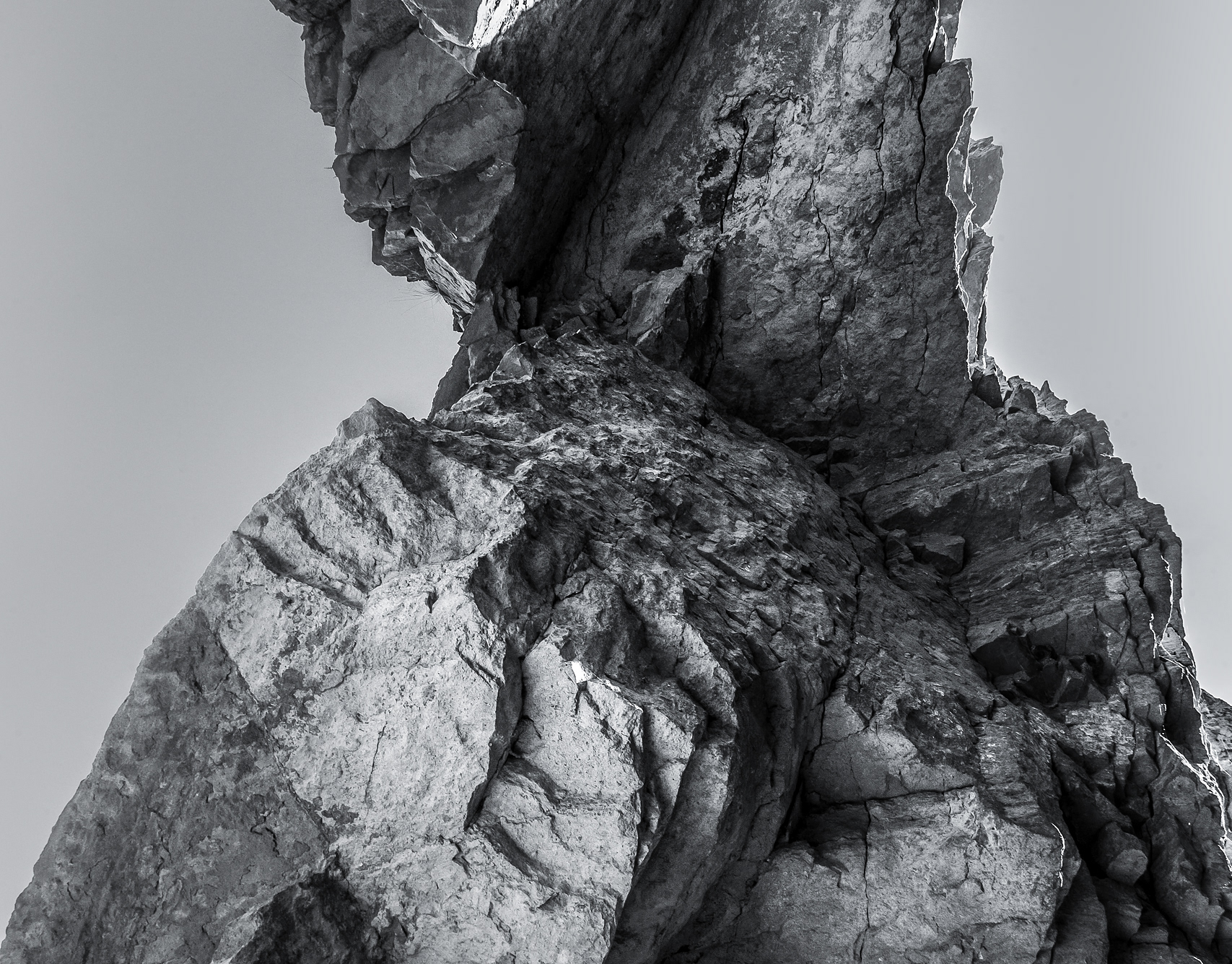
Old destroyed village on the mountains slopes, Southern Dagestan
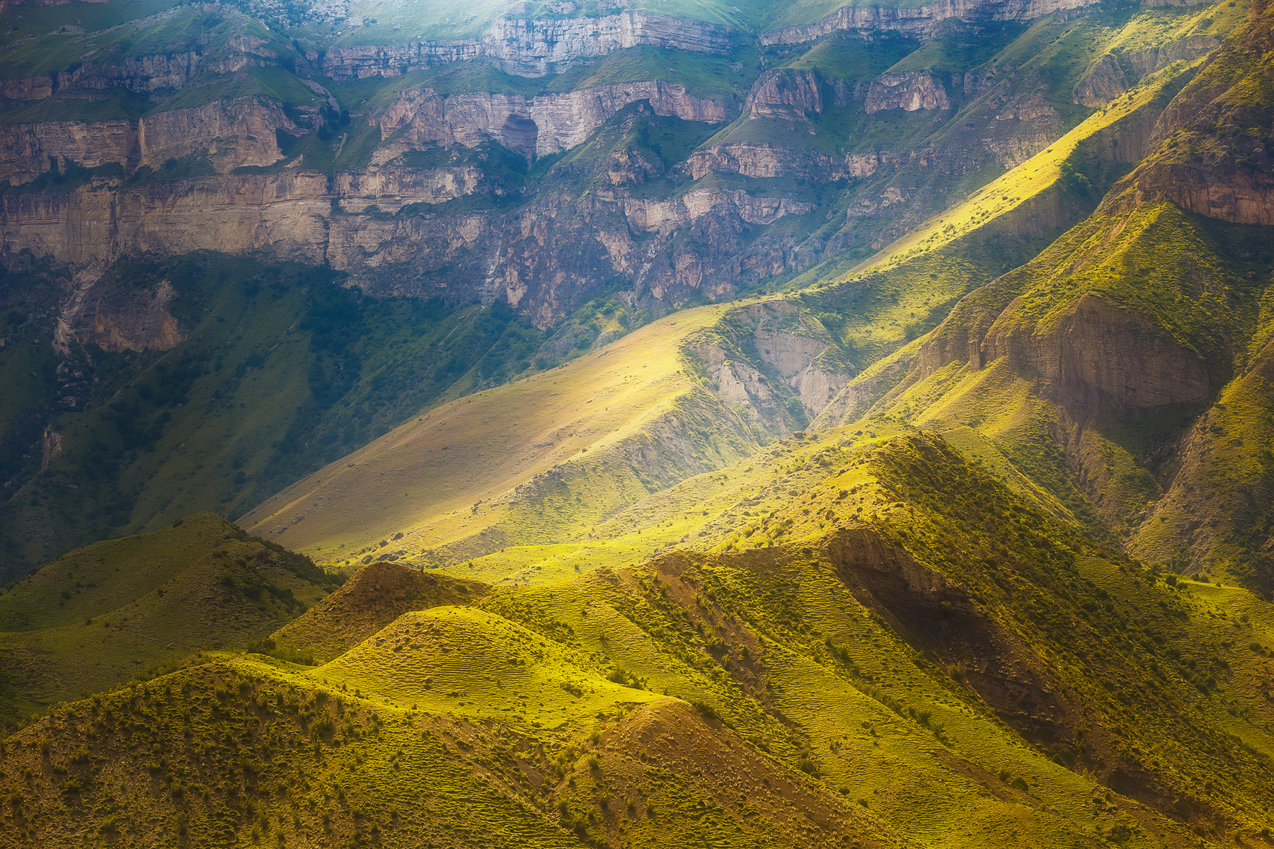
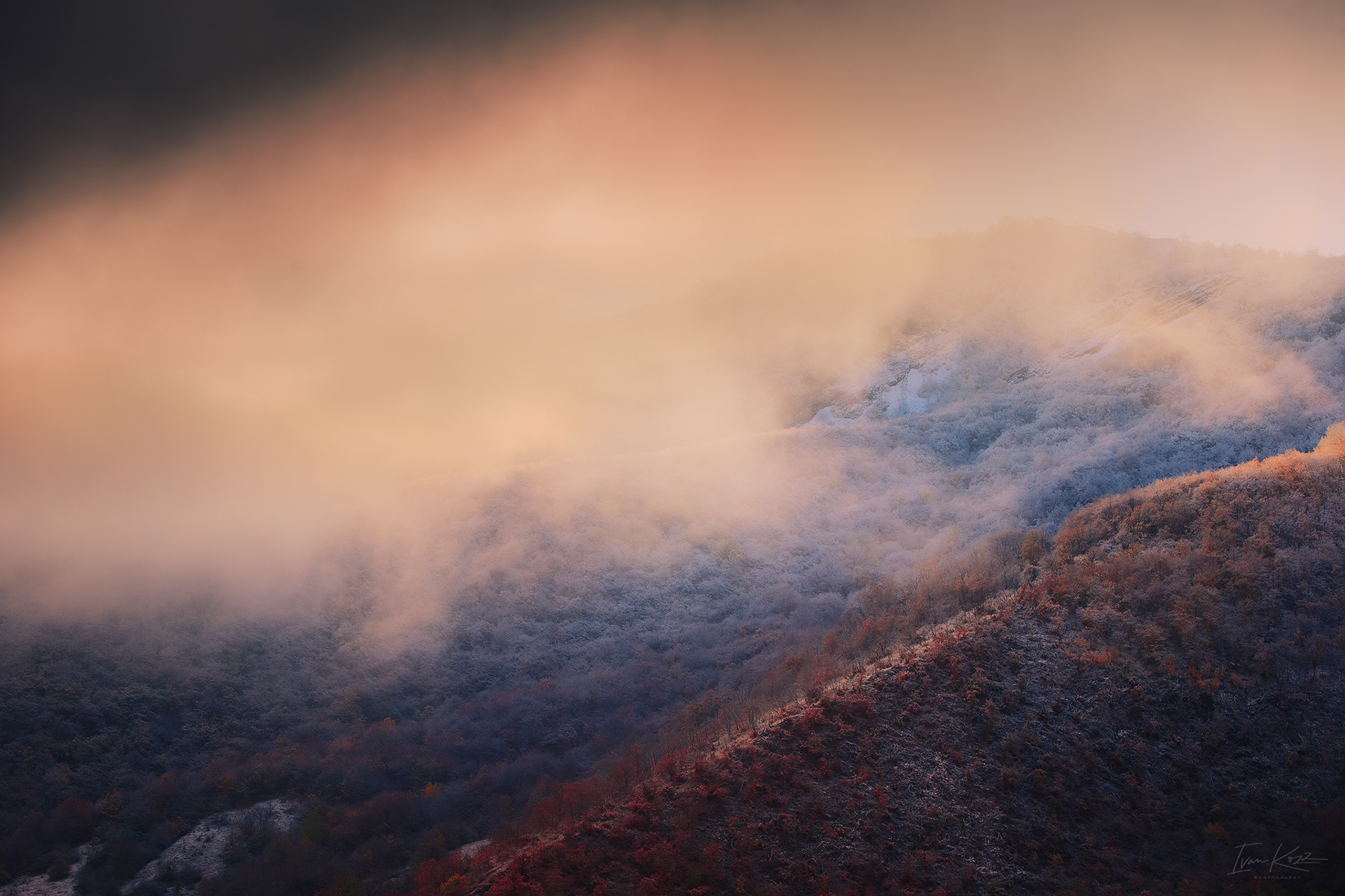
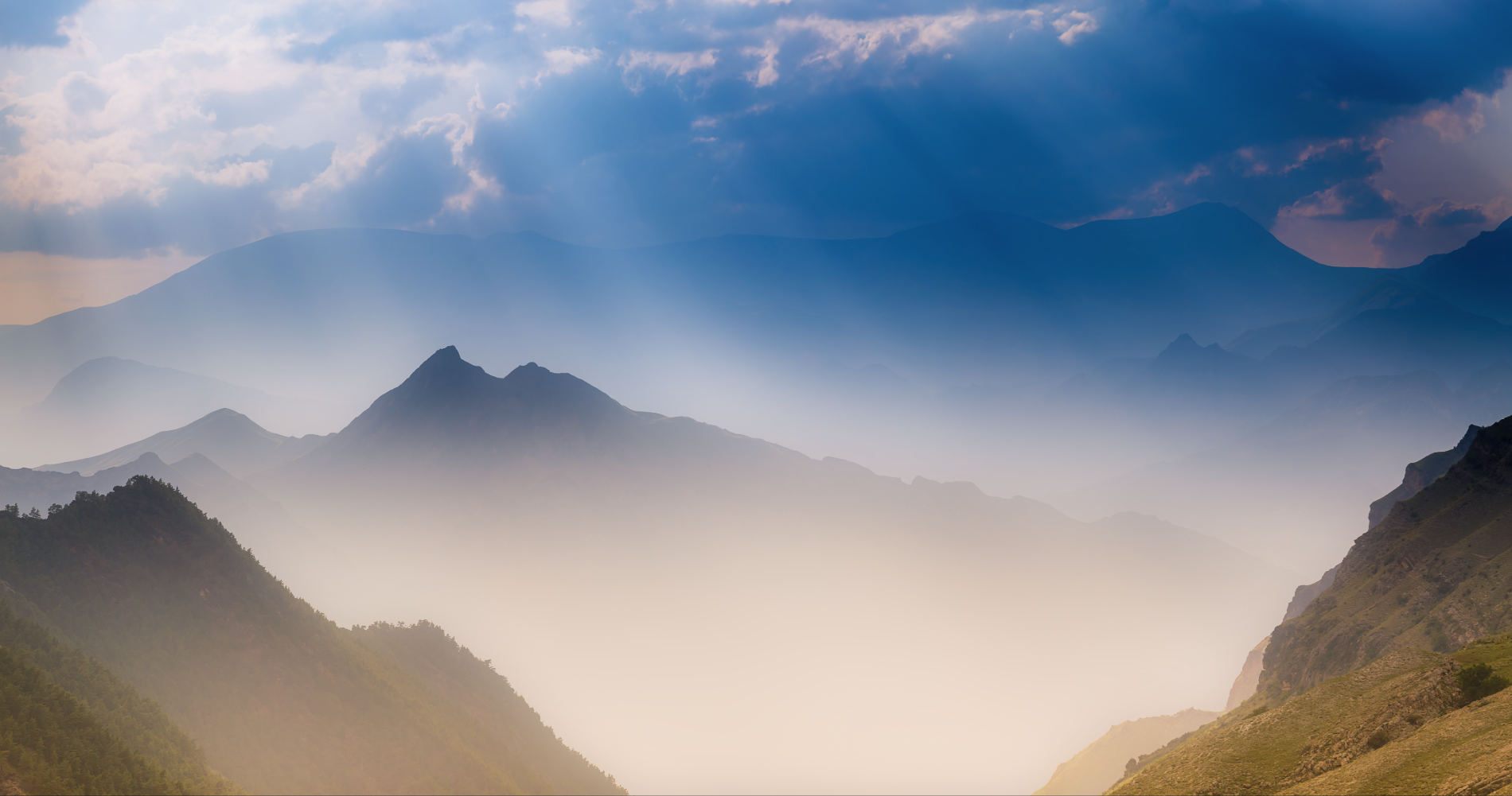
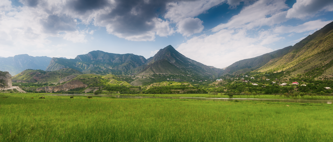
Sunlight on the mountains slopes, Central Dagestan
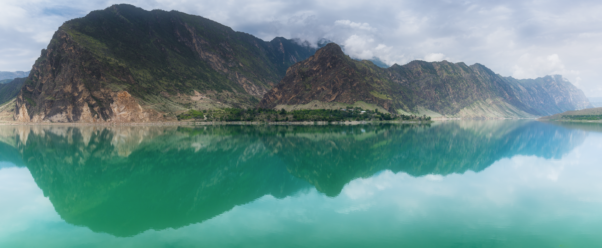
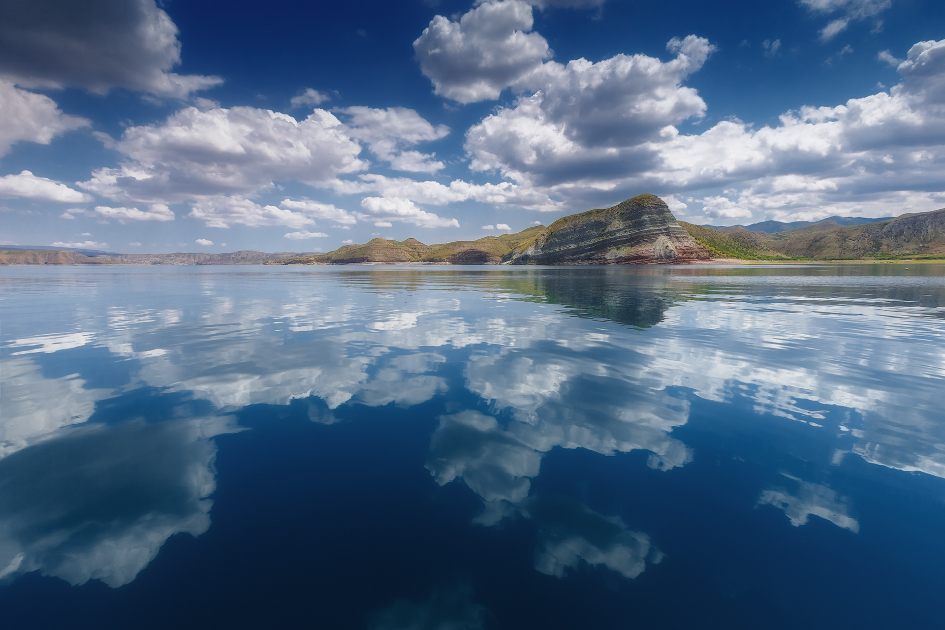
Irganay water basin, Central Dagestan

Early morning in valley of river Samur, Southern Dagestan
Panoramic view of Yarudag Plateau, Southern Dagestan
Saltinskaya concave, Central Dagestan
Mountain Shalbuzdag at the sunrise, Southern Dagestan

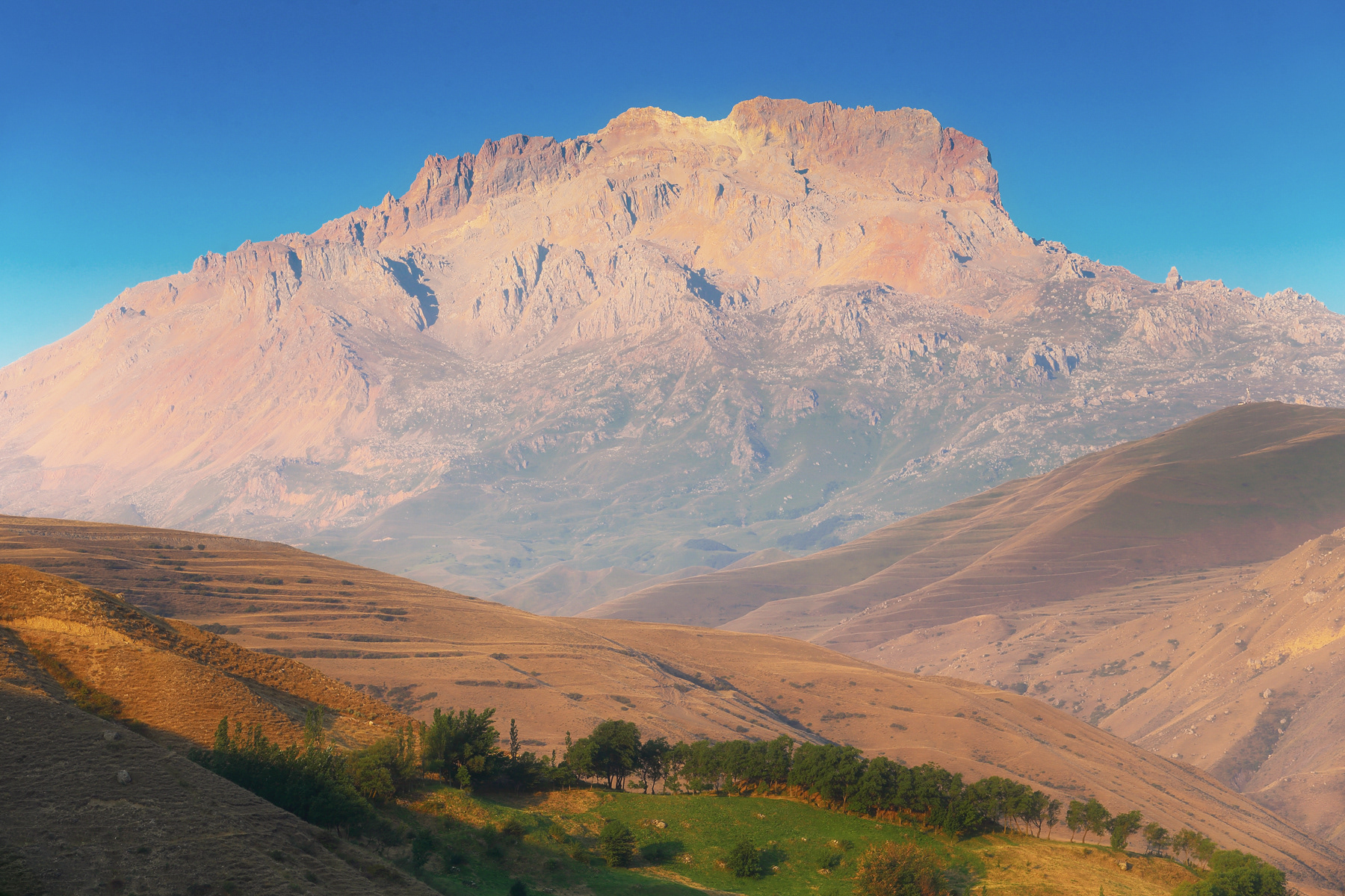
Yarudag Plateau (3925 m), Southern Dagestan
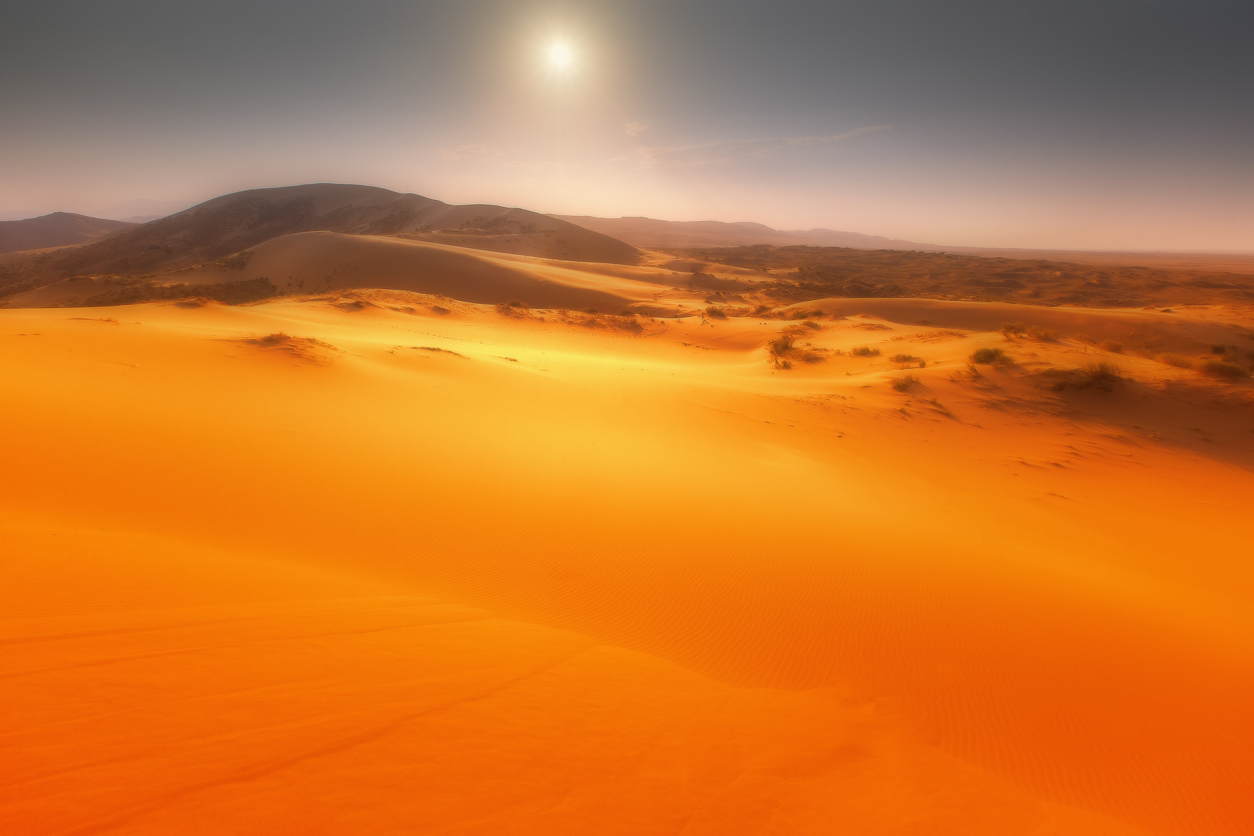
This fascinating landscape, like a frame from the Martian Chronicles, opens from the top of the barkhan Sarykum, located in Russia in the Republic of Dagestan. Barkhan Sarykum is a unique natural monument of Dagestan. Geologists it is recognized as the second largest in the world. Larger than it-a dune called "Big erg" in the Sahara desert. And in Europe and Asia there is no equal in size to our sarykum. Its length is 12 km, maximum width-4 km, height 252 m
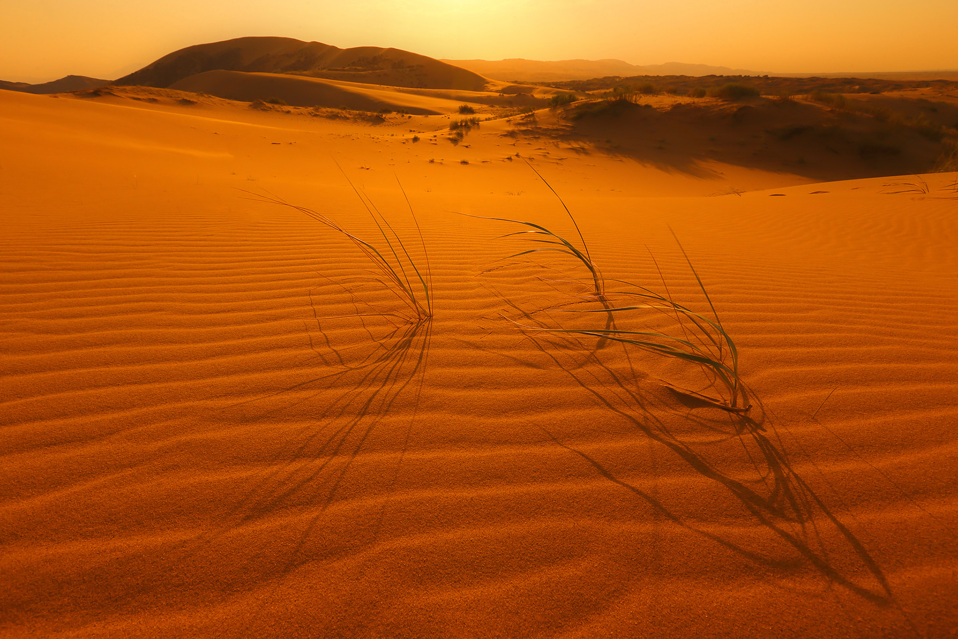
The height of the dune changes all the time but the average height is 260 meters. It is the highest sandy dune not only in Russia but in Eurasia. Its age is more than several hundred thousands years.
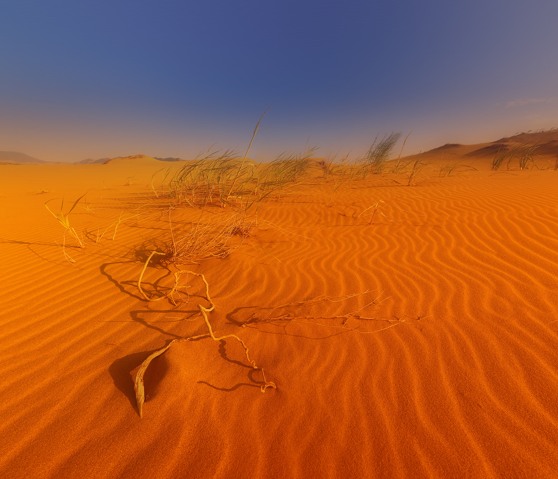
Sarykum is the hottest place in Dagestan. In summer the temperature on the southern slopes can reach +60 degrees Celsius and sometimes it comes up to + 90 Degrees. In such conditions only typically desert inhabitants such as cobras, ground squirrel, and scorpions can survive.
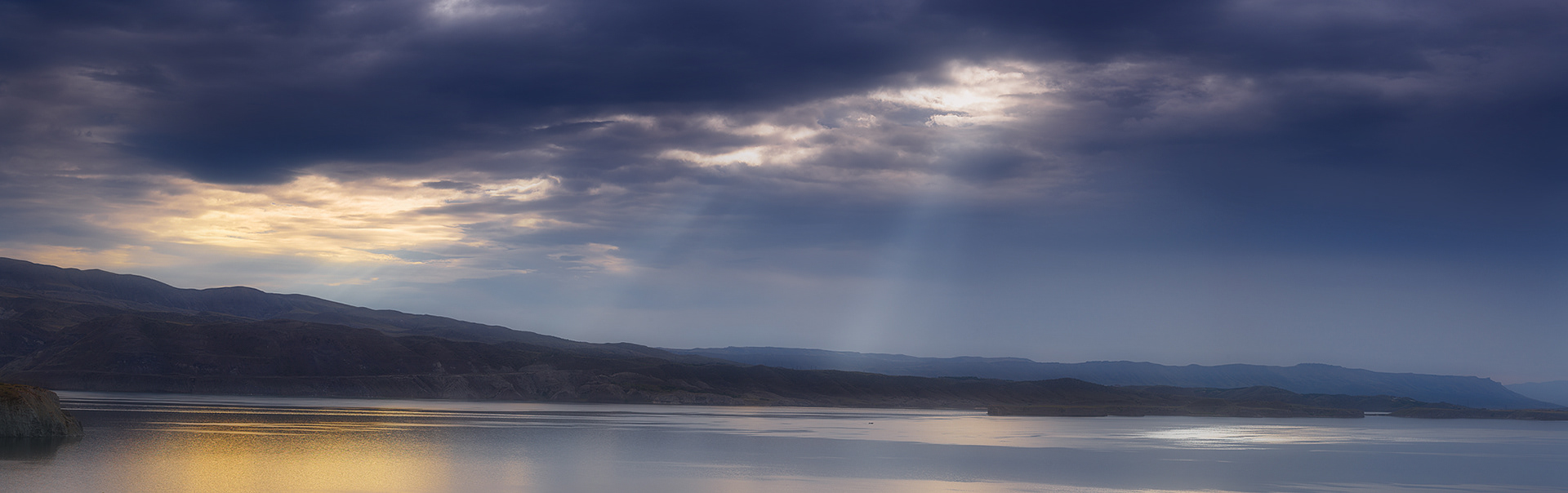
Chirkey reservoir is formed on the Sulak river by the construction of the Chirkei hydroelectric power station, the largest reservoir in the North Caucasus. Dam of Chirkey hydropower station was launched in 1970, the filling of the reservoir completed in 1974. When creating the reservoir was flooded of 3.04 hectares of farmland and transferred 830 buildings. Flooded ancient village of Chirkey and settlement hydrobuilders Friendship. The village of Chirkey was moved higher on the plateau.